

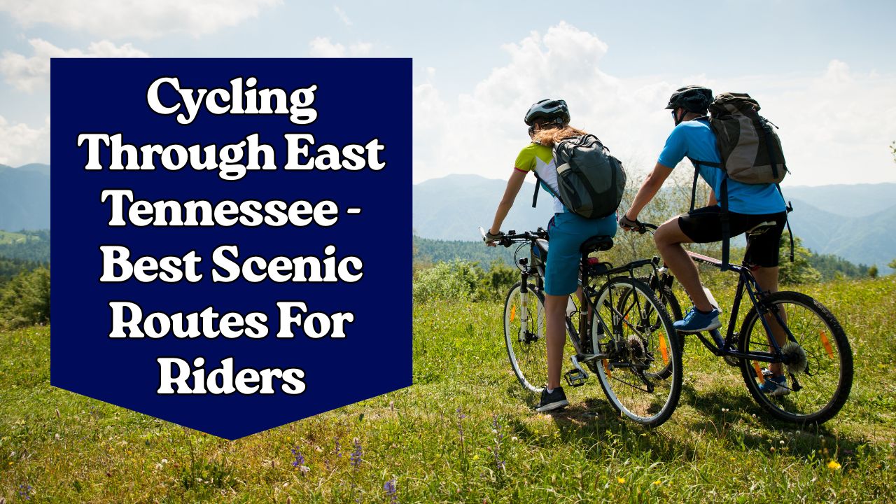
East Tennessee is a dream destination for cyclists. From the rolling foothills of the Smoky Mountains to scenic rail-trails, car-free national park mornings, and vibrant city greenways, the region has something for every rider. Whether you are a road cyclist chasing climbs, a mountain biker looking for flow trails, or a casual rider seeking relaxing paths with family, East Tennessee offers endless opportunities to explore by bike.
This guide highlights the best scenic cycling routes in East Tennessee, complete with route details, distances, surfaces, and must-know tips to make your ride unforgettable.
Why East Tennessee Is Perfect for Cycling
East Tennessee’s cycling appeal comes from its unique combination of natural beauty, historic towns, and cyclist-friendly infrastructure.
- Diverse Landscapes: Mountains, rivers, valleys, and forests all within short distances.
- National Park Access: Car-free cycling opportunities and dedicated scenic loops.
- Greenway Networks: Urban paths connect cities to nature.
- Year-Round Riding: Mild winters make cycling possible almost all year.
Top Scenic Road Cycling Routes
1. Foothills Parkway
- Distance: ~33 miles (western segment)
- Surface: Paved scenic byway
- Difficulty: Moderate (rolling hills)
This national parkway runs along Chilhowee Mountain and provides panoramic views of both the Smoky Mountains and the Tennessee Valley. A detour to Look Rock observation tower offers a 360-degree vista that makes the climb worthwhile.
2. Cherohala Skyway
- Distance: 43 miles (full byway)
- Elevation Gain: Over 4,000 feet
- Surface: Paved
- Difficulty: Advanced
This route climbs to nearly 5,400 feet, offering sweeping ridge views and alpine-like terrain. It’s a bucket-list ride for experienced cyclists who want long climbs, crisp mountain air, and challenging descents.
3. Cades Cove Loop
- Distance: 11 miles
- Surface: Paved loop road
- Difficulty: Easy–Moderate
Cades Cove is one of the most beloved cycling routes in East Tennessee. On specific summer days, the loop is completely closed to vehicles, creating a cyclist’s paradise. The route winds through historic cabins, open meadows, and wildlife-rich valleys.
4. Tellico River Out-and-Back
- Distance: ~18 miles round trip
- Surface: Paved forest road
- Difficulty: Easy–Moderate
This ride follows the Tellico River through the Cherokee National Forest, with cascading waters and shaded forest roads. Perfect for intermediate riders who enjoy quiet, scenic routes.
Rail-Trails & Greenway
5. Tweetsie Trail (Johnson City to Elizabethton)
- Distance: 9.6 miles one-way
- Surface: Crushed stone
- Difficulty: Easy
Following a historic railroad, the Tweetsie Trail features trestle bridges, creek crossings, and small-town charm. Ideal for families, casual riders, and those looking for a relaxed outing.
6. Kingsport Greenbelt
- Distance: ~10 miles
- Surface: Paved multi-use trail
- Difficulty: Easy
This greenway runs through the heart of Kingsport, connecting parks, neighborhoods, and downtown. With multiple trailheads, it’s perfect for shorter rides or commuting by bike.
7. Maryville–Alcoa Greenway
- Distance: ~9 miles core, 21+ miles total with branches
- Surface: Paved
- Difficulty: Easy
Running along Pistol Creek, this network connects neighborhoods to parks and downtown Maryville. It’s a popular route for warm-ups before tackling longer rides into the Smokies.
8. Townsend Historical Trail
- Distance: 9 miles
- Surface: Paved
- Difficulty: Easy
Known as the “Peaceful Side of the Smokies,” this trail follows US-321 with underpasses for safe crossings. The path offers river views, historic markers, and easy access to cafes and lodging.
9. Knoxville Greenways
- Distance: Varies, up to 125+ miles combined network
- Surface: Paved & crushed stone
- Difficulty: Easy
Knoxville boasts one of the largest greenway systems in the Southeast. Popular segments include: - Third Creek Greenway – connects Tyson Park to Neyland Greenway.
- Neyland Greenway – 3 miles along the riverfront with skyline views.
- Sequoyah Greenway – 2.7 miles of shaded crushed gravel in a historic neighborhood.
Mountain Biking: Knoxville’s Urban Wilderness
10. Urban Wilderness South Loop
- Distance: 12.5 miles loop (part of 40+ mile system)
- Surface: Natural singletrack
- Difficulty: Easy–Advanced
Just minutes from downtown Knoxville, the Urban Wilderness is a must for mountain bikers. It includes flow trails, rocky technical sections, pump tracks, and family-friendly options. The Baker Creek Preserve is a highlight, offering progressive jump lines and skills areas.
Scenic Ride Comparison
| Route | Distance | Surface | Difficulty | Highlights |
|---|---|---|---|---|
| Foothills Parkway | 33 miles | Paved scenic byway | Moderate | Mountain & valley views, Look Rock tower |
| Cherohala Skyway | 43 miles | Paved mountain road | Hard | Long climbs, ridge-top panoramas |
| Cades Cove Loop | 11 miles | Paved loop road | Easy–Moderate | Historic cabins, wildlife, car-free days |
| Tellico River Ride | 18 miles | Paved forest road | Easy–Moderate | River views, forest serenity |
| Tweetsie Trail | 9.6 miles | Crushed stone | Easy | Rail-trail, bridges, family-friendly |
| Kingsport Greenbelt | 10 miles | Paved trail | Easy | City parks and neighborhoods |
| Maryville–Alcoa Greenway | 21 miles total | Paved trail | Easy | Pistol Creek, city connections |
| Townsend Historical Trail | 9 miles | Paved trail | Easy | Peaceful, riverside, historical markers |
| Knoxville Greenways | 125+ miles | Paved & gravel | Easy | Skyline, riverfront, shaded paths |
| Urban Wilderness MTB | 40+ miles | Natural singletrack | Easy–Hard | Flow trails, jump lines, downtown access |
Best Seasons to Ride
- Spring: Blooming dogwoods and wildflowers make every route colorful.
- Summer: Early mornings are ideal, especially for Cades Cove car-free Wednesdays.
- Fall: The absolute best time for cycling—cool air and peak autumn foliage.
- Winter: Mild conditions allow year-round cycling, especially on urban greenways.
Tips for Riders
- Gear Up: Lights, hydration, and layers are essential in mountain areas.
- Parking Tags: If stopping in the Smokies for more than 15 minutes, display a tag.
- Safety: Always ride defensively on scenic byways with vehicle traffic.
- Navigation: Download GPS maps in advance since mountain cell coverage can be spotty.
Cycling through East Tennessee offers the perfect mix of challenge, beauty, and accessibility. From the ridge-top expanses of the Cherohala Skyway to the peaceful Cades Cove Loop and the family-friendly Tweetsie Trail, there is a route for everyone. The region’s mix of mountains, rivers, valleys, and greenways ensures that no two rides feel the same.
If you’re a road cyclist craving panoramic climbs, a family looking for weekend fun, or a mountain biker chasing adrenaline, East Tennessee guarantees unforgettable miles on two wheels.
FAQs
Late September through October is considered the best period thanks to cooler weather and stunning fall foliage.
Yes, most greenways and rail-trails allow Class 1 and Class 2 e-bikes. Always check local guidelines for updates.
There is no entry fee for cycling, but if you park for longer than 15 minutes, a parking tag is required.